
As-Built Documentation
Comprehensive documenting of newly installed FTTH fiber and HFC networks to ensure exact alignment between field reality and office records.
As-Built Documentation and BOM/BOL Reconciliation Services
Sunset Telecom AsBuilt provides high-precision mapping and documentation for critical underground fiber and coaxial network infrastructure.

Redline Digitization
Precise conversion of field redline sketches into professional, scalable digital PDF formats for seamless data integration.
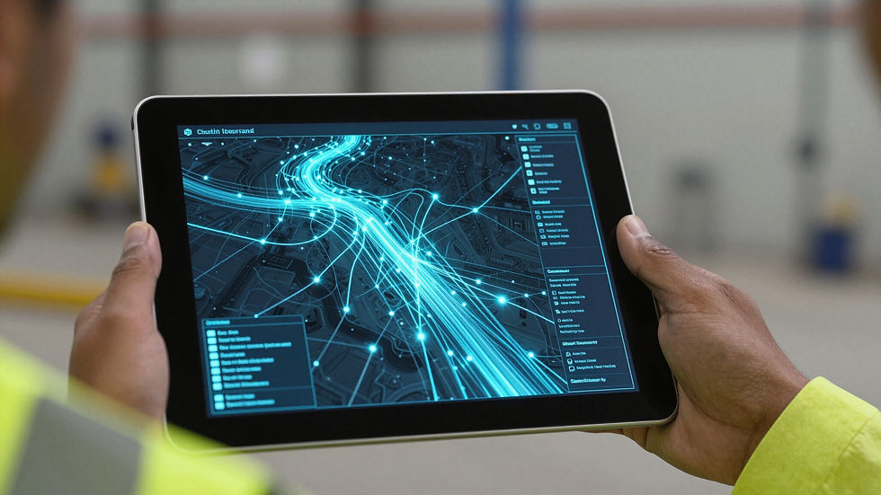
Precision As-Built Documentation
- Comprehensive mapping of underground and aerial FTTH and HFC network assets.
-
Detailed verification of redlines to make sure all aspects are accurate.
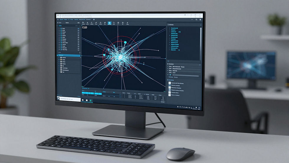
Expert Redline Digitization
- Conversion of field-corrected physical markups into professional digital PDF layouts.
- Integration of field-verified redline data into centralized network inventory systems
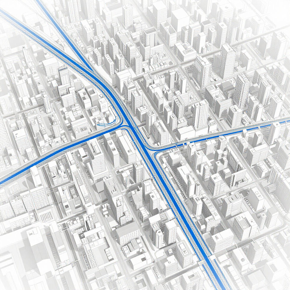
Metropolitan Fiber Digitization - Houston

Subsurface Corridor Survey
Precision Documentation in Action
Showcasing our expertise in underground fiber and coaxial network digitization through high-detail as-built mapping.

Regional Backbone Documentation
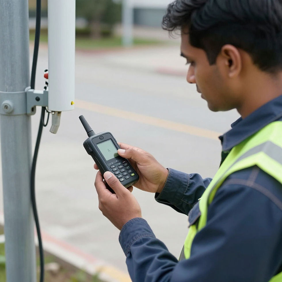
Subsurface Network Audit
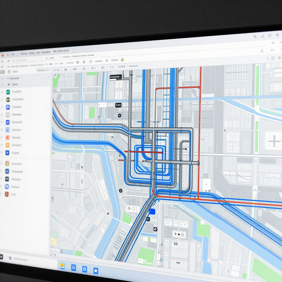
GIS Redline Conversion
Ensure your network infrastructure is mapped with absolute certainty.
Frequently Asked Questions
What specific as-built services do you offer for underground fiber networks?
We provide comprehensive underground mapping, cable path verification, and depth recording to ensure every foot of your fiber infrastructure is accurately documented for long-term maintenance and future expansions.
How does the redline digitization process work for coaxial networks?
Our expert drafters take your field annotations and redline revisions, converting them into precise digital CAD or GIS formats that reflect the technical reality of your coaxial network infrastructure.
Why is accurate mapping critical for underground infrastructure?
Precise records prevent costly line strikes and accidental damage during excavation. They also ensure that network management is based on factual spatial data, reducing overhead for repair and deployment teams.
What documentation formats do you provide in the final package?
We deliver results in industry-standard formats including DWG (AutoCAD), ESRI Shapefiles, and high-resolution PDFs, ensuring your team has accessible and usable data across all platforms.
Do you provide field verification alongside digitization?
Yes, we offer on-site field verification to confirm physical network data before performing digital conversion, guaranteeing that your final as-builds are as accurate as possible.